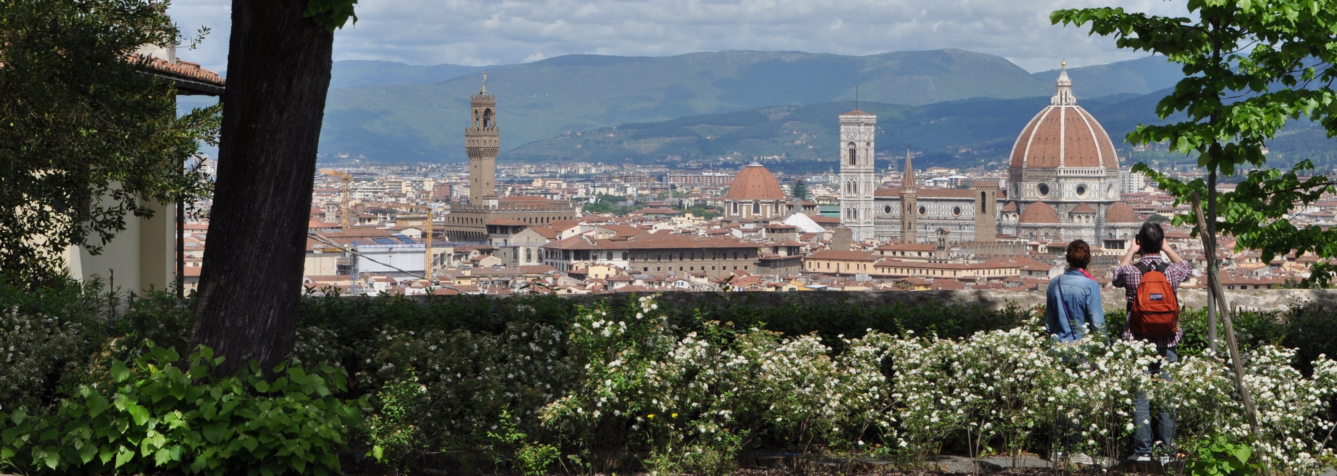
The city of Florence grew by the banks of the Arno River over the course of two millennia. At first a small ancient village, the town was reconfigured by Roman urban designers in the familiar grid pattern that marked most communities under their domain. That central core represented the city center until the late Middle Ages, when two new sets of walls – one outside the other – rose up in the thirteenth century to gird its expanding physical contours. Buffeted by an enormously successful entrepreneurial spirit, the city’s prosperity translated into a vibrant social and political entity, marked by abundant architectural enterprises that transformed it into one of Europe’s most important and desirable destinations.
As Florentines traded goods, made money, and influenced international events, their fellow writers penned poems and novels, their painters frescoed walls, and their sculptors carved effigies and scenes with surprising ingenuity. Chroniclers described spaces. Merchants kept diaries. Lovers exchanged letters. Preachers described sinners and their sins. Tax collectors recorded the contents of houses, the locations of farms, and the names of owners, renters, and the dependents inside them all. The skein of data contained in all of these lasting forms of cultural documentation present an unusually complete, 360° view of the old city for the pleasure of scholars, students, and amateurs alike. Never before, however, have we been able to meld together the data contained in these visual and textual documents with the physical remnants of the medieval city in which they were produced. Instead they have come to us in detached form, separated physically and contextually from their original settings. We have depended on our collective imaginations to recreate that environment, that world, for centuries.
Technological advances have changed all this. Thanks to the industries of computer scientists, professional game designers, and experimental entrepreneurs, we have at our fingertips the capacity to recreate the physical environment of the old city of Florence at a time when its residents bought their food and clothes at outdoor markets, attended church daily, and repeatedly faced down threats of famine, disease, and warfare. “Florence As It Was” has as its mission the gradual reconstruction of this major cultural center, one structure at a time, city block by city block. Paintings produced by artists during the early period that feature buildings constructed before 1500 – including those that no longer survive – have been used to recreate the exteriors of churches, municipal offices, and city gates. Using extant architectural evidence, documents, art images, and contemporary representations, we will build a three dimensional model that will allow viewers to circumambulate a structure, venture inside it, and see stitched onto its walls and furnishings the images that once adorned it. Embedded into this reconstructed structure will be texts –in their original language with English translations –that help explain how and why a specific object looks the way it does, why a specific artist was commissioned to produce it, and/or the motives behind its commission from the vantage point of its patron. Literary passages, tax records, even musical performances will be accessed through clicks on ‘hotspots,’ allowing writers and notaries and musicians to speak for themselves. Hyperlinks to other reconstructed buildings will allow us to make connections, literally, to other spaces and the people who occupied them.
Any number of maps would be useful tools in this endeavor. The abundance of satellite photographs of the 21st - century city surely allow us to determine contours and boundaries that have changed only minimally over time. The Duomo stands today in exactly the same place it did in 1436 and the configuration of the Arno River – despite Leonardo da Vinci’s best efforts – hasn’t shifted very much since the middle of the fourteenth century (despite Mother Nature’s most vicious efforts to the contrary). The grid pattern of the Roman city remains in the paved streets that now follow those alleys and even the design of the third ring of walls, completed at the very end of the thirteenth century, may be traced easily by following the viale that surrounds its core. We have therefore combined with contemporary satellite images a set of maps produced in the 18th and 19th centuries that, we believe, present a fairly accurate representation of the urban landscape of Florence. The alleyways of the Mercato Vecchio, for example, will be reproduced according to designs made by Guido Carocci that currently adorn the consultation room of the Archivio di Stato in Florence. A useful model of that central area of the city survives in the museum of the Palazzo Vecchio. We will combine these early maps and models with cityscape paintings by relatively unknown artists (like the nineteenth - century amateur, Fabio Borbottoni) to understand the appearance of piazzas, building facades, and structural elevations.
Florence As It Was will combine an interactive map with three - dimensional representations of buildings, designed according to measurements gleaned from the scholarly literature and on - site examinations. Layered onto in into these reconstructions will be images of original works of art situated in the places that contemporary users of the building described them (the photographs of which are in the public domain). Hot spots throughout these buildings and images will direct viewers to selected documents, descriptions, and interpretationsthat help us understand the messages, functions, uses, and reception of art and architecture in the past. We imagine a day when technological advances will allow us to take a Virtual Reality tour through these buildings that enables us to recreate the visual experience of a fifteenth-century Florentine.
I have received Lenfest Grants annually since 2006, which have helped me retain my research agenda while chairing the Department of Art and Art History. That research led to a number of paper presentations, an article (“Adventures in Advertising in the Florentine Wool Guild”), and my book, Public Pictures and Visual Culture in Early Republican Florence. “Florence As It Was” is a new project that may well continue for the rest of my professional life. - Professor George Bent
GB